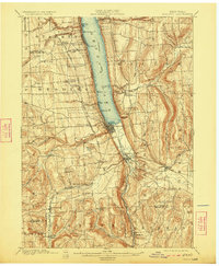
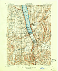
1901 Map of Watkins
USGS Topo · Published 1923About this map
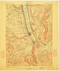
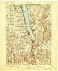
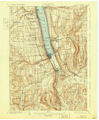
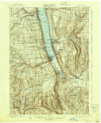
Seneca Lake serves as the central corridor for commerce and transport in this region at the turn of the century, with a designated Steamboat Route connecting points like Glenora and Cottage Pt. to the southern hub of Watkins. The landscape is defined by the steep glens and falls carved into the lakeside bluffs, most notably at Hector Falls and Excelsior Glen. The village of Watkins sits at the foot of the lake, where the Northern Central R. R. and the Chemung County Electric R. R. converge, facilitating the movement of goods and passengers through the marshlands leading to Montour Falls.
Find a feature on this map
61 named features on this map. Tap any name to fly to it.
Don’t see what you’re looking for? This feature index may not catch every label — zoom into the map to look around manually.
Map Details
Editions of this 1901 Watkins Map
10 editions found
Other maps of this area

1893 · Ithaca
USGS Topo · 1:62,500

1895 · Ithaca
USGS Topo · 1:62,500

1895 · Elmira
USGS Topo · 1:62,500

1898 · Watkins Glen
USGS Topo · 1:62,500

1901 · Watkins
USGS Topo · 1:62,500

1902 · Waverly
USGS Topo · 1:62,500

1902 · Genoa
USGS Topo · 1:62,500

1902 · Ovid
USGS Topo · 1:62,500

1903 · Penn Yan
USGS Topo · 1:62,500

1903 · Hammondsport
USGS Topo · 1:62,500