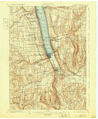
1901 Map of Watkins
USGS Topo · Published 1932About this map
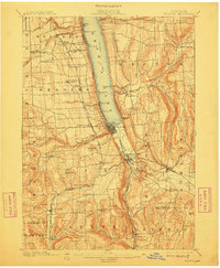
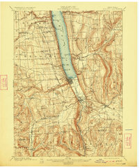
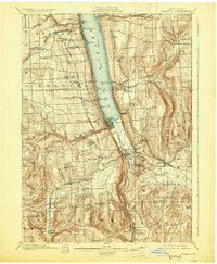
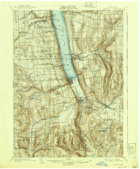
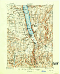
The southern tip of Seneca Lake anchors this 1898 survey of Schuyler County, where the village of Watkins and Montour Falls serve as industrial and transit hubs. The landscape is defined by the steep glacial troughs and falls that characterize the Finger Lakes region, including notable landmarks like Hector Falls and Havana Glen. An intricate web of transportation reflects the era's commerce, with the Northern Central Ry. and the Lehigh Valley R. R. skirting the lake and climbing the surrounding heights.
Find a feature on this map
72 named features on this map. Tap any name to fly to it.
Don’t see what you’re looking for? This feature index may not catch every label — zoom into the map to look around manually.
Map Details
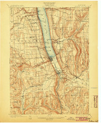
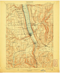
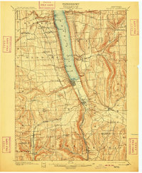
Editions of this 1901 Watkins Map
10 editions found
Other maps of this area

1893 · Ithaca
USGS Topo · 1:62,500

1895 · Ithaca
USGS Topo · 1:62,500

1895 · Elmira
USGS Topo · 1:62,500

1898 · Watkins Glen
USGS Topo · 1:62,500

1901 · Watkins
USGS Topo · 1:62,500

1902 · Waverly
USGS Topo · 1:62,500

1902 · Genoa
USGS Topo · 1:62,500

1902 · Ovid
USGS Topo · 1:62,500

1903 · Penn Yan
USGS Topo · 1:62,500

1903 · Hammondsport
USGS Topo · 1:62,500