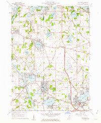
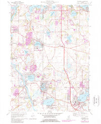
1960 Map of Wauconda
USGS Topo · Published 1962About this map
The Fox River corridors and its expansive lake systems define this Lake County and McHenry County border region at the dawn of the 1960s. The settlement at Wauconda sits east of Bangs Lake, while further west, the planned community of Island Lake surrounds its namesake water body. The landscape is characterized by a high concentration of recreational and institutional sites, including Camp Henry Horner, Camp Hickory, and Camp Duncan, alongside a Sanitarium near Wooster Lake.
Find a feature on this map
70 named features on this map. Tap any name to fly to it.
Don’t see what you’re looking for? This feature index may not catch every label — zoom into the map to look around manually.
Map Details
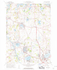
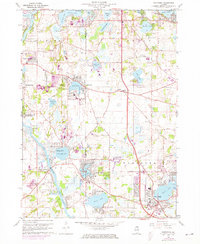
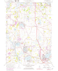
Editions of this 1960 Wauconda Map
5 editions found
Other maps of this area

1920 · Grays Lake
USGS Topo · 1:62,500

1923 · Grays Lake
USGS Topo · 1:62,500

1923 · Barrington
USGS Topo · 1:62,500

1925 · Elgin
USGS Topo · 1:62,500

1926 · Mc Henry
USGS Topo · 1:62,500

1935 · Barrington
USGS Topo · 1:62,500

1940 · Elgin
USGS Topo · 1:62,500

1944 · McHenry
USGS Topo · 1:62,500

1954 · Rockford
USGS Topo · 1:250,000

1955 · Rockford
USGS Topo · 1:250,000