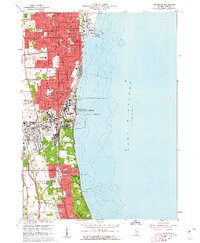
1960 Map of Waukegan
USGS Topo · Published 1962About this map
Waukegan and its neighboring industrial and military centers dominate this Lake County shoreline just as the 1960s began. The map illustrates a dense urban corridor where the Chicago and North Western and Chicago North Shore and Milwaukee rail lines parallel the coast, connecting North Chicago, Lake Bluff, and Lake Forest. A massive federal footprint is visible at the Great Lakes Naval Training Center and the nearby V A Hospital at Downey.
Find a feature on this map
54 named features on this map. Tap any name to fly to it.
Don’t see what you’re looking for? This feature index may not catch every label — zoom into the map to look around manually.
Map Details
Editions of this 1960 Waukegan Map
4 editions found
Other maps of this area

1899 · Evanston
USGS Topo · 1:62,500

1900 · Highwood
USGS Topo · 1:62,500

1906 · Waukegan
USGS Topo · 1:62,500

1908 · Waukegan
USGS Topo · 1:62,500

1928 · Wheeling
USGS Topo · 1:24,000

1928 · Highland Park
USGS Topo · 1:24,000

1951 · Highland Park
USGS Topo · 1:24,000
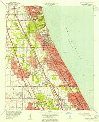
1953 · Highland Park
USGS Topo · 1:24,000
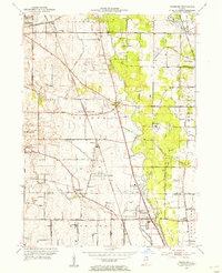
1953 · Wheeling
USGS Topo · 1:24,000

1958 · Racine
USGS Topo · 1:250,000