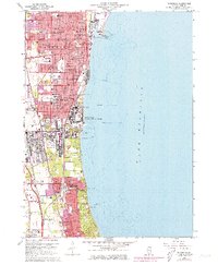
1960 Map of Waukegan
USGS Topo · Published 1973About this map
Great Lakes Naval Training Center dominates the shoreline of Lake Michigan in this early 1970s revision of the Lake County coast. The industrial and institutional character of the region is evident through the dense network of the Chicago and North Western and Elgin Joliet and Eastern railroads, which service the growing urban corridors of Waukegan and North Chicago. Institutional landmarks like the V A Hospital and numerous parochial institutions, including Our Lady of the Forest Sch and Holy Rosary Sch, reflect the mid-century social fabric of these lakefront communities.
Find a feature on this map
54 named features on this map. Tap any name to fly to it.
Don’t see what you’re looking for? This feature index may not catch every label — zoom into the map to look around manually.
Map Details
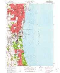
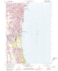
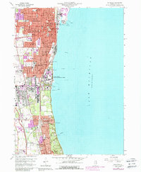
Editions of this 1960 Waukegan Map
4 editions found
Other maps of this area

1899 · Evanston
USGS Topo · 1:62,500

1900 · Highwood
USGS Topo · 1:62,500

1906 · Waukegan
USGS Topo · 1:62,500

1908 · Waukegan
USGS Topo · 1:62,500

1928 · Wheeling
USGS Topo · 1:24,000

1928 · Highland Park
USGS Topo · 1:24,000

1951 · Highland Park
USGS Topo · 1:24,000
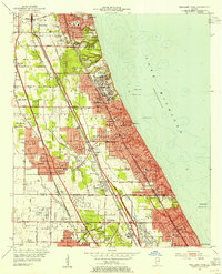
1953 · Highland Park
USGS Topo · 1:24,000
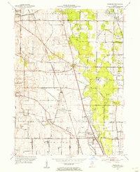
1953 · Wheeling
USGS Topo · 1:24,000

1958 · Racine
USGS Topo · 1:250,000