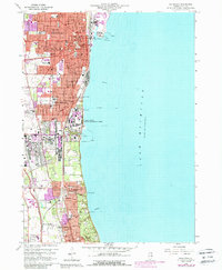
1960 Map of Waukegan
USGS Topo · Published 1988About this map
The Great Lakes Naval Training Center dominates the Lake Michigan shoreline in this mid-century survey, illustrating the significant military and institutional footprint in Lake County. The urban corridor stretching from Waukegan through North Chicago to Lake Forest is densely packed with mid-century civic infrastructure, including the V A Hospital, Therese Hospital, and a Sanatorium. Transport networks are particularly detailed, showing the convergence of the Chicago and North Western, Elgin Joliet and Eastern, and the Chicago North Shore and Milwaukee railroads alongside Sheridan Road. This map captures the region's transition as postwar suburban growth began to infill between established lakefront communities and inland junctions like Skokie Junction, while still preserving large green spaces for numerous schools, parks, and golf courses.
Find a feature on this map
45 named features on this map. Tap any name to fly to it.
Don’t see what you’re looking for? This feature index may not catch every label — zoom into the map to look around manually.
Map Details
Editions of this 1960 Waukegan Map
4 editions found
Other maps of this area

1899 · Evanston
USGS Topo · 1:62,500

1900 · Highwood
USGS Topo · 1:62,500

1906 · Waukegan
USGS Topo · 1:62,500

1908 · Waukegan
USGS Topo · 1:62,500

1928 · Wheeling
USGS Topo · 1:24,000

1928 · Highland Park
USGS Topo · 1:24,000

1951 · Highland Park
USGS Topo · 1:24,000
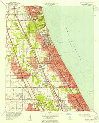
1953 · Highland Park
USGS Topo · 1:24,000
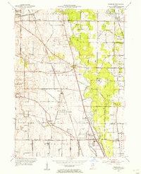
1953 · Wheeling
USGS Topo · 1:24,000

1958 · Racine
USGS Topo · 1:250,000