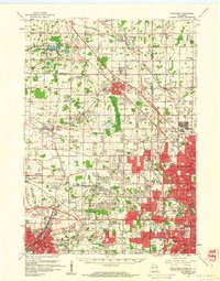
1959 Map of Waukesha
USGS Topo · Published 1961About this map
Waukesha and its surrounding townships show the intense expansion of the Milwaukee metropolitan area in the late 1950s. The red-shaded urban tint pushes westward through West Allis and Wauwatosa, meeting the developing residential and industrial pockets of Brookfield and Elm Grove. Amidst this growth, the landscape remains punctuated by significant aviation and recreational landmarks, including Timmerman Airport, Capitol Drive Airport, and the State Fair Park grounds.
Find a feature on this map
137 named features on this map. Tap any name to fly to it.
Don’t see what you’re looking for? This feature index may not catch every label — zoom into the map to look around manually.
Map Details
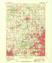
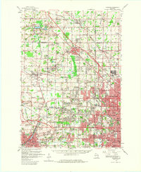
Editions of this 1959 Waukesha Map
3 editions found
Other maps of this area

1891 · Bayview
USGS Topo · 1:62,500

1891 · Muskego
USGS Topo · 1:62,500

1892 · Milwaukee
USGS Topo · 1:62,500

1892 · Waukesha
USGS Topo · 1:62,500

1892 · Oconomowoc
USGS Topo · 1:62,500

1892 · Port Washington
USGS Topo · 1:62,500

1892 · Eagle
USGS Topo · 1:62,500

1894 · Eagle
USGS Topo · 1:62,500

1897 · Eagle
USGS Topo · 1:62,500

1901 · Milwaukee
USGS Topo · 1:62,500