
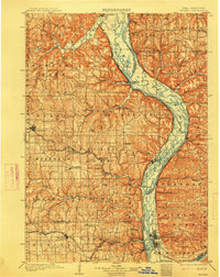
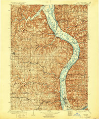
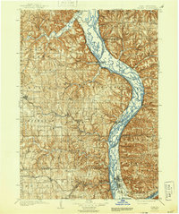
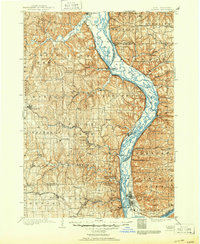
1903 Map of Waukon
USGS Topo · Published 1903About this map
The Mississippi River valley carves a deep path through this region at the turn of the century, serving as a busy commercial artery between Iowa and Wisconsin. The riverfront is dotted with essential transport points like Harpers Ferry and Ferryville, while the Chicago Burlington and Quincy RR follows the eastern bank through Lynxville and Charme. Inland, the terrain is defined by the steep bluffs and drainage basins of the Iowa River, Upper Iowa River, and Yellow River.
Find a feature on this map
90 named features on this map. Tap any name to fly to it.
Don’t see what you’re looking for? This feature index may not catch every label — zoom into the map to look around manually.
Map Details
Editions of this 1903 Waukon Map
5 editions found
Other maps of this area

1900 · Lancaster
USGS Topo · 1:125,000

1901 · Oelwein
USGS Topo · 1:125,000

1902 · Elkader
USGS Topo · 1:125,000

1904 · Lancaster
USGS Topo · 1:125,000

1906 · Decorah
USGS Topo · 1:125,000

1908 · Lancaster
USGS Topo · 1:125,000

1923 · Viroqua
USGS Topo · 1:62,500

1924 · Gays Mills
USGS Topo · 1:62,500

1926 · Gays Mills
USGS Topo · 1:62,500

1926 · Stoddard
USGS Topo · 1:62,500