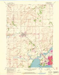
1959 Map of Waunakee
USGS Topo · Published 1970About this map
The north shore of Lake Mendota anchors this mid-century topographic survey, showing the agricultural and institutional development of northern Dane County. The map details the substantial campus of the Mendota State Hospital and the Central Wisconsin Training School near Farwells Point, which are prominent features of the shoreline. To the north, the village of Waunakee is depicted before its later suburban expansion, situated at the junction of the Chicago and North Western railroad and Sixmile Creek. The surrounding rural townships of Vienna and Westport are dotted with numerous historic schools and cemeteries, including the Blackwoods Sch and Matson Cem, reflecting the early educational and social fabric of these farming communities. Waterways like the Yahara River and Cherokee Lake define the eastern drainage patterns toward the Madison area.
Find a feature on this map
38 named features on this map. Tap any name to fly to it.
Don’t see what you’re looking for? This feature index may not catch every label — zoom into the map to look around manually.
Map Details
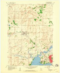
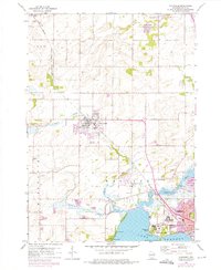
Editions of this 1959 Waunakee Map
3 editions found
Other maps of this area

1890 · Madison
USGS Topo · 1:62,500

1892 · Madison
USGS Topo · 1:62,500

1895 · Baraboo
USGS Topo · 1:62,500

1901 · Poynette
USGS Topo · 1:62,500

1904 · Madison
USGS Topo · 1:62,500

1906 · Madison
USGS Topo · 1:62,500

1907 · Cross Plains
USGS Topo · 1:62,500

1908 · Baraboo
USGS Topo · 1:62,500

1909 · Cross Plains
USGS Topo · 1:62,500

1957 · Madison
USGS Topo · 1:250,000