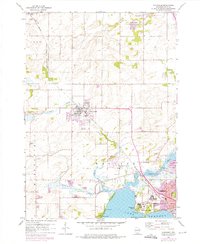
1959 Map of Waunakee
USGS Topo · Published 1975About this map
Lake Mendota and the northern reaches of Madison anchor the southern portion of this landscape, where the Chicago and North Western railway lines cut through the terrain. The map captures a moment of institutional expansion and rural transition, notably featuring the Mendota State Hospital and the Central Wisconsin Training School near the lakeshore. To the north, the village of Waunakee serves as a hub for the surrounding agricultural townships of Vienna, Westport, and Springfield.
Find a feature on this map
35 named features on this map. Tap any name to fly to it.
Don’t see what you’re looking for? This feature index may not catch every label — zoom into the map to look around manually.
Map Details
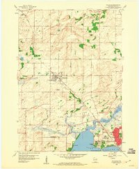
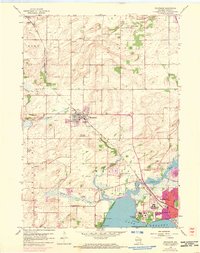
Editions of this 1959 Waunakee Map
3 editions found
Other maps of this area

1890 · Madison
USGS Topo · 1:62,500

1892 · Madison
USGS Topo · 1:62,500

1895 · Baraboo
USGS Topo · 1:62,500

1901 · Poynette
USGS Topo · 1:62,500

1904 · Madison
USGS Topo · 1:62,500

1906 · Madison
USGS Topo · 1:62,500

1907 · Cross Plains
USGS Topo · 1:62,500

1908 · Baraboo
USGS Topo · 1:62,500

1909 · Cross Plains
USGS Topo · 1:62,500

1957 · Madison
USGS Topo · 1:250,000