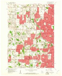
1958 Map of Wauwatosa
USGS Topo · Published 1961About this map
The Menomonee River and Underwood Creek define the suburban expansion of Milwaukee in the late 1950s, a period when farmland was rapidly giving way to residential developments and municipal institutions. Significant land tracts are dedicated to social and medical infrastructure, most notably the Wisconsin County Institutions complex and St Camillus Hospital. The landscape is also a focal point for regional recreation and education, featuring Mount Mary College, the Zoological Park, and State Fair Park.
Find a feature on this map
117 named features on this map. Tap any name to fly to it.
Don’t see what you’re looking for? This feature index may not catch every label — zoom into the map to look around manually.
Map Details
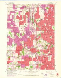
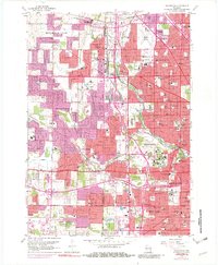
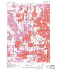
Editions of this 1958 Wauwatosa Map
4 editions found
Other maps of this area

1891 · Bayview
USGS Topo · 1:62,500

1891 · Muskego
USGS Topo · 1:62,500

1892 · Milwaukee
USGS Topo · 1:62,500

1892 · Waukesha
USGS Topo · 1:62,500

1901 · Milwaukee
USGS Topo · 1:62,500

1901 · Waukesha
USGS Topo · 1:62,500

1901 · Bayview
USGS Topo · 1:62,500

1901 · Muskego
USGS Topo · 1:62,500

1906 · Waukesha
USGS Topo · 1:62,500

1906 · Milwaukee
USGS Topo · 1:62,500