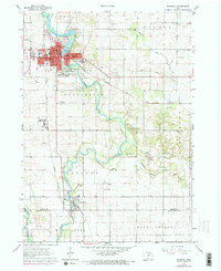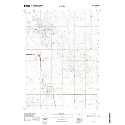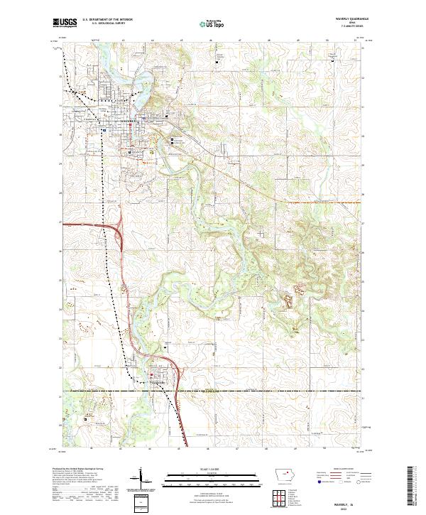
1984 Map of Waverly
USGS Topo · Published 1989About this map
The Cedar River and Shell Rock River dominate the landscape of northeast Iowa in this mid-1980s compilation. This survey illustrates a dense network of river-oriented towns and agricultural centers, anchored by the industrial corridor of Waterloo and Cedar Falls to the south. The region is notable for its extensive conservation lands, including the Big Marsh State Wildlife Management Area and the Sweet Marsh State Wildlife Management Area, which preserve the hydrology of the Wapsipinicon and Cedar basins. Settlement patterns follow the traditional rail lines, connecting smaller communities like Dumont, Allison, and Greene. For the genealogist or local researcher, the map identifies specific landmarks such as the Garden of Memories Cem and various county parks like Beaver Meadows County Park, providing a clear view of the rural infrastructure before major modern landscape changes.
Find a feature on this map
127 named features on this map. Tap any name to fly to it.
Don’t see what you’re looking for? This feature index may not catch every label — zoom into the map to look around manually.
Map Details
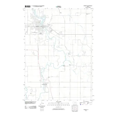
Editions of this 1984 Waverly Map
2 editions found

Historical Maps of Waterloo Through Time
7 maps found