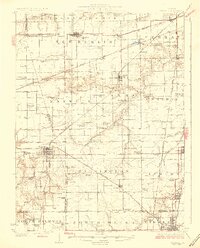
1926 Map of Waverly
USGS Topo · Published 1926About this map
Central Illinois grain country and rail corridors define this 1920s landscape, where dozens of one-room schoolhouses served a dense network of farmstead families. The sheet reveals a remarkable concentration of rural education hubs, from the Hong Kong School and Highwater Mark School to the Prairie College School, documenting a localized social structure before the mid-century consolidation of school districts.
Find a feature on this map
88 named features on this map. Tap any name to fly to it.
Don’t see what you’re looking for? This feature index may not catch every label — zoom into the map to look around manually.
Map Details
Editions of this 1926 Waverly Map
2 editions found
Other maps of this area

1907 · Springfield
USGS Topo · 1:62,500

1909 · Tallula
USGS Topo · 1:62,500

1922 · Divernon
USGS Topo · 1:62,500

1923 · Carlinville
USGS Topo · 1:48,000

1923 · Raymond
USGS Topo · 1:62,500

1924 · Divernon
USGS Topo · 1:62,500

1924 · Waverly
USGS Topo · 1:62,500

1925 · Carlinville
USGS Topo · 1:62,500

1925 · Raymond
USGS Topo · 1:62,500

1926 · Waverly
USGS Topo · 1:62,500