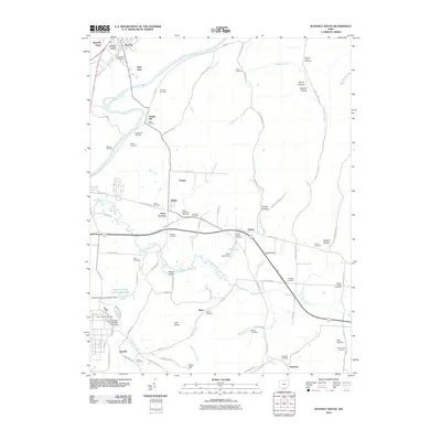
2010 Map of Waverly South
USGS Topo · Published 2010About this map
The Scioto River defines the western valley of this Pike County landscape, where the town of Waverly and its adjacent communities of Waverly Place, Green Acres, and Glen Jean cluster along the riverbanks. The area is dense with family and community history, evidenced by a high concentration of burial grounds including Downing Cemetery, Evergreen Cemetery, and Barger Cemetery. To the south, the industrial and utility footprint of the mid-20th century is visible through the Atomic Energy Commission Lake and its associated dams near Shyville.
Find a feature on this map
94 named features on this map. Tap any name to fly to it.
Don’t see what you’re looking for? This feature index may not catch every label — zoom into the map to look around manually.
Map Details
Editions of this 2010 Waverly South Map
This is the sole edition of this map. No revisions or reprints were ever made.
Other maps of this area

1906 · Waverly
USGS Topo · 1:62,500

1908 · Waverly
USGS Topo · 1:62,500

1911 · Sciotoville
USGS Topo · 1:62,500

1913 · Sciotoville
USGS Topo · 1:62,500

1915 · Otway
USGS Topo · 1:62,500

1915 · Piketon
USGS Topo · 1:62,500

1917 · Piketon
USGS Topo · 1:62,500

1917 · Otway
USGS Topo · 1:62,500

1944 · Piketon
USGS Topo · 1:62,500

1947 · Columbus
USGS Topo · 1:250,000