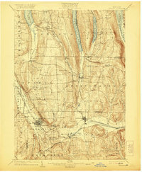
1904 Map of Wayland
USGS Topo · Published 1921About this map
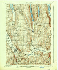
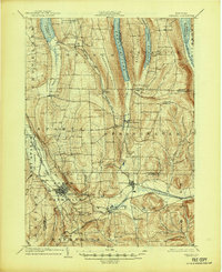
Dansville and Wayland anchor this early twentieth-century survey of the Finger Lakes region, where the steep glacial valleys of Hemlock Lake, Canadice Lake, and Conesus Lake dominate the landscape. The intricate rail network is a defining feature, showing the Delaware Lackawanna and Western RR and the Erie RR navigating the deep cuts and high ridges like Marrowback Hill and Bald Hill. Small settlements such as Scottsburg, Springwater, and Perkinsville are mapped in detail alongside rural landmarks like Stony Falls and the Stony Brook Glen. This era shows the region before major modern highway development, with the Rochester Div road and the Pittsburgh Shawmut and Northern RR providing critical connections between the southern tier and the lake country to the north.
Find a feature on this map
66 named features on this map. Tap any name to fly to it.
Don’t see what you’re looking for? This feature index may not catch every label — zoom into the map to look around manually.
Map Details
Editions of this 1904 Wayland Map
7 editions found
Other maps of this area

1900 · Naples
USGS Topo · 1:62,500

1900 · Canandaigua
USGS Topo · 1:62,500

1901 · Honeoye
USGS Topo · 1:62,500

1902 · Wayland
USGS Topo · 1:62,500

1903 · Naples
USGS Topo · 1:62,500

1903 · Canandaigua
USGS Topo · 1:62,500

1904 · Wayland
USGS Topo · 1:62,500

1904 · Caledonia
USGS Topo · 1:62,500

1904 · Honeoye
USGS Topo · 1:62,500

1905 · Nunda
USGS Topo · 1:62,500