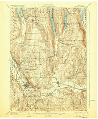
1904 Map of Wayland
USGS Topo · Published 1931About this map
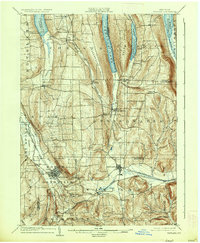
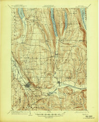
The Finger Lakes region of western New York reveals a deeply etched glacial landscape at the turn of the century, characterized by the narrow north-south oriented waters of Conesus Lake, Hemlock Lake, and Canadice Lake. The settlement of Dansville serves as a primary hub in the south, positioned where the Delaware Lackawanna and Western RR skirts the steep slopes of the North Dansville hills. Industrial activity is evidenced by the Stones Falls Mill along the Western New York and Pennsylvania RR corridor, while the eastern hills are dotted with remote agricultural hamlets like Tabor Corners and Patchinville. The terrain is remarkably varied, from the broad valley of Canaseraga Creek to the sharp relief of Marrowback Hill and the dramatic Stony Brook Glen, illustrating the intersection of late 19th-century rail transport with a challenging upland geography.
Find a feature on this map
59 named features on this map. Tap any name to fly to it.
Don’t see what you’re looking for? This feature index may not catch every label — zoom into the map to look around manually.
Map Details
Editions of this 1904 Wayland Map
7 editions found
Other maps of this area

1900 · Naples
USGS Topo · 1:62,500

1900 · Canandaigua
USGS Topo · 1:62,500

1901 · Honeoye
USGS Topo · 1:62,500

1902 · Wayland
USGS Topo · 1:62,500

1903 · Naples
USGS Topo · 1:62,500

1903 · Canandaigua
USGS Topo · 1:62,500

1904 · Wayland
USGS Topo · 1:62,500

1904 · Caledonia
USGS Topo · 1:62,500

1904 · Honeoye
USGS Topo · 1:62,500

1905 · Nunda
USGS Topo · 1:62,500