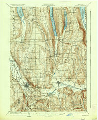
1904 Map of Wayland
USGS Topo · Published 1936About this map
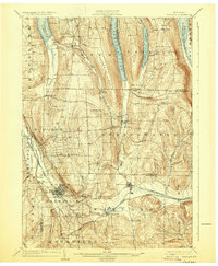
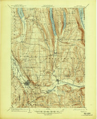
Dansville and Wayland anchor the southern portion of this landscape, serving as critical rail hubs where the Delaware Lackawanna and Western RR, the Erie RR, and the Pittsburgh Shawmut and Northern RR converge. The terrain is defined by the elongated northern valleys of the Finger Lakes region, including the southern reaches of Conesus Lake, Hemlock Lake, Canadice Lake, and Honeoye Lake. These narrow water bodies are flanked by steep ridges such as Marrowback Hill and Bald Hill, creating a distinct north-south orientation for both travel and settlement.
Find a feature on this map
58 named features on this map. Tap any name to fly to it.
Don’t see what you’re looking for? This feature index may not catch every label — zoom into the map to look around manually.
Map Details
Editions of this 1904 Wayland Map
7 editions found
Other maps of this area

1900 · Naples
USGS Topo · 1:62,500

1900 · Canandaigua
USGS Topo · 1:62,500

1901 · Honeoye
USGS Topo · 1:62,500

1902 · Wayland
USGS Topo · 1:62,500

1903 · Naples
USGS Topo · 1:62,500

1903 · Canandaigua
USGS Topo · 1:62,500

1904 · Wayland
USGS Topo · 1:62,500

1904 · Caledonia
USGS Topo · 1:62,500

1904 · Honeoye
USGS Topo · 1:62,500

1905 · Nunda
USGS Topo · 1:62,500