
1904 Map of Wayland
USGS Topo · Published 1904About this map
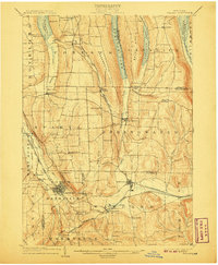
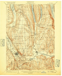
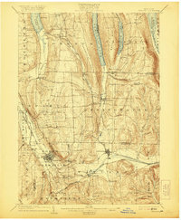
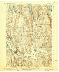
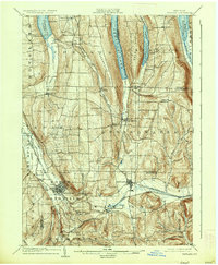
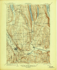
Wayland and Dansville serve as the primary hubs in this 1904 survey, which documents the complex industrial and natural landscape of the western Finger Lakes region. The convergence of multiple rail lines, including the Erie Railroad Rochester Div. and the Delaware Lackawanna and Western R. R., highlights the area's importance as a transportation corridor between the deep ravines and long glacial lakes. Notable for its geographic variety, the map details the narrow, steep-sided waters of Hemlock Lake and Canadice Lake alongside the agricultural basins of Conesus Lake. Significant local industry is evidenced by the Stones Falls Mill near Perkinsville, while natural landmarks like Stony Brook Glen and the deep cut of Pokamoonshine Gulf illustrate the dramatic topography of the Genesee and Cohocton River watersheds.
Find a feature on this map
62 named features on this map. Tap any name to fly to it.
Don’t see what you’re looking for? This feature index may not catch every label — zoom into the map to look around manually.
Map Details
Editions of this 1904 Wayland Map
7 editions found
Other maps of this area

1900 · Naples
USGS Topo · 1:62,500

1900 · Canandaigua
USGS Topo · 1:62,500

1901 · Honeoye
USGS Topo · 1:62,500

1902 · Wayland
USGS Topo · 1:62,500

1903 · Naples
USGS Topo · 1:62,500

1903 · Canandaigua
USGS Topo · 1:62,500

1904 · Caledonia
USGS Topo · 1:62,500

1904 · Honeoye
USGS Topo · 1:62,500

1905 · Nunda
USGS Topo · 1:62,500

1910 · Bath
USGS Topo · 1:62,500