
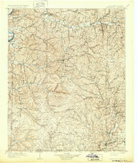
1905 Map of Waynesboro
USGS Topo · Published 1905About this map
Waynesboro serves as the central hub for this early twentieth-century survey of Wayne County, illustrating a landscape defined by its deep hollows and river crossings. The map reveals a transition from river-based transport along the Tennessee River at Peters Landing and Clifton to the expanding rail influence of the L & N R R in the southeast corner. Local commerce and traveler waypoints are clearly marked through sites like Whittens Stand and Mc Glamerys Stand, reflecting the enduring path of the Nathez Trace as it cuts across the hills.
Find a feature on this map
61 named features on this map. Tap any name to fly to it.
Don’t see what you’re looking for? This feature index may not catch every label — zoom into the map to look around manually.
Map Details
Editions of this 1905 Waynesboro Map
2 editions found
Other maps of this area

1901 · Colombia
USGS Topo · 1:125,000

1911 · Iuka
USGS Topo · 1:48,000

1914 · Iuka
USGS Topo · 1:62,500

1914 · Rogersville
USGS Topo · 1:48,000

1914 · Muscle Shoals
USGS Topo · 1:48,000

1916 · Muscle Shoals
USGS Topo · 1:62,500

1916 · Rogersville
USGS Topo · 1:62,500

1924 · Gravelly Springs
USGS Topo · 1:48,000

1926 · Gravelly Springs
USGS Topo · 1:62,500

1935 · Wright
USGS Topo · 1:24,000