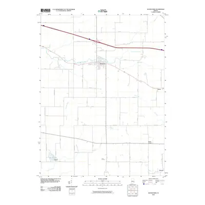
2010 Map of Waynetown
USGS Topo · Published 2010About this map
Waynetown stands as the central hub of this Montgomery County landscape, situated where local roads converge near the banks of East Fork Coal Creek. The surrounding territory is defined by an extensive network of drainage systems, including the McFarland Ditch, Sommer Ditch, and Clarkson Ditch, which support the region's agricultural productivity. To the south and east, smaller settlements like Wesley, Taylor Corner, and Hibernia mark long-standing community points within the rural grid.
Find a feature on this map
52 named features on this map. Tap any name to fly to it.
Don’t see what you’re looking for? This feature index may not catch every label — zoom into the map to look around manually.
Map Details
Editions of this 2010 Waynetown Map
This is the sole edition of this map. No revisions or reprints were ever made.
Other maps of this area

1948 · Wallace
USGS Topo · 1:24,000

1949 · Alamo
USGS Topo · 1:24,000

1953 · Danville
USGS Topo · 1:250,000

1953 · Indianapolis
USGS Topo · 1:250,000

1955 · Danville
USGS Topo · 1:250,000

1956 · Danville
USGS Topo · 1:250,000

1956 · Indianapolis
USGS Topo · 1:250,000

1956 · Crawfordsville
USGS Topo · 1:24,000

1956 · New Market
USGS Topo · 1:24,000

1957 · Indianapolis
USGS Topo · 1:250,000