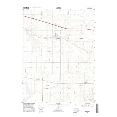
2016 Map of Waynetown
USGS Topo · Published 2016About this map
Waynetown anchors the northern portion of this Montgomery County landscape, situated along the East Fork Coal Creek and a network of county roads. The terrain is defined by its agricultural character and extensive drainage systems, with Clarkson Ditch, Sommer Ditch, and McFarland Ditch cutting through the fields to manage the local water table. To the south, the landscape becomes increasingly oriented toward Sugar Mill Cr and its namesake Sugar Mill Lake, a significant local water feature.
Find a feature on this map
40 named features on this map. Tap any name to fly to it.
Don’t see what you’re looking for? This feature index may not catch every label — zoom into the map to look around manually.
Map Details
Editions of this 2016 Waynetown Map
This is the sole edition of this map. No revisions or reprints were ever made.
Other maps of this area

1948 · Wallace
USGS Topo · 1:24,000

1949 · Alamo
USGS Topo · 1:24,000

1953 · Danville
USGS Topo · 1:250,000

1953 · Indianapolis
USGS Topo · 1:250,000

1955 · Danville
USGS Topo · 1:250,000

1956 · Danville
USGS Topo · 1:250,000

1956 · Indianapolis
USGS Topo · 1:250,000

1956 · Crawfordsville
USGS Topo · 1:24,000

1956 · New Market
USGS Topo · 1:24,000

1957 · Indianapolis
USGS Topo · 1:250,000