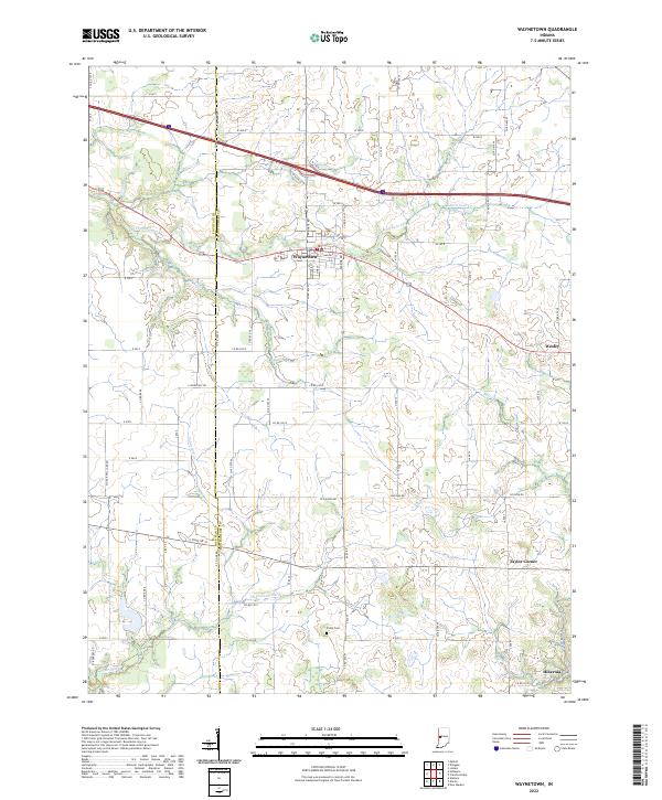
2022 Map of Waynetown
USGS Topo · Published 2022About this map
Waynetown serves as the central hub of this agricultural region along the border of Fountain and Montgomery Counties. The landscape is defined by an intricate network of waterways, including East Fork Coal Creek and Sugar Mill Cr, which cut through the fertile plains. Small outlying settlements like Wesley, Taylor Corner, and Hibernia mark the intersections of a grid-like road system, reflecting the traditional Midwestern township and range organization.
Find a feature on this map
69 named features on this map. Tap any name to fly to it.
Don’t see what you’re looking for? This feature index may not catch every label — zoom into the map to look around manually.
Map Details
Editions of this 2022 Waynetown Map
This is the sole edition of this map. No revisions or reprints were ever made.
Other maps of this area

1948 · Wallace
USGS Topo · 1:24,000

1949 · Alamo
USGS Topo · 1:24,000

1953 · Danville
USGS Topo · 1:250,000

1953 · Indianapolis
USGS Topo · 1:250,000

1955 · Danville
USGS Topo · 1:250,000

1956 · Danville
USGS Topo · 1:250,000

1956 · Indianapolis
USGS Topo · 1:250,000

1956 · Crawfordsville
USGS Topo · 1:24,000

1956 · New Market
USGS Topo · 1:24,000

1957 · Indianapolis
USGS Topo · 1:250,000