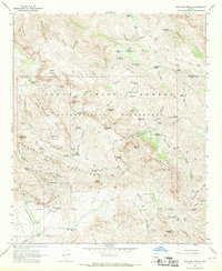
1966 Map of Weavers Needle
USGS Topo · Published 1969About this map
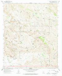
Weavers Needle rises as a prominent landmark at the heart of this survey of the Superstition Wilderness and Tonto National Forest. The landscape is a network of arid drainage basins and sharp peaks, where water sources like Indian Spring No. 1 and Charlebois Spring dictated movement through the terrain. The presence of the Miller Mines and Dacite Cliffs Mine points to the area's mineral exploration history, while established sites such as Tortilla Ranch and the Quarter Circle U Ranch show the integration of ranching into these isolated canyons. A complex system of foot and pack trails, including the Dutchmans Trail and Whiskey Spring Trail, provides the primary infrastructure for traversing the region, linking remote camps like Williams Camp and Reeds Camp across the high divides.
Find a feature on this map
66 named features on this map. Tap any name to fly to it.
Don’t see what you’re looking for? This feature index may not catch every label — zoom into the map to look around manually.
Map Details
Editions of this 1966 Weavers Needle Map
5 editions found
Other maps of this area

1900 · Florence
USGS Topo · 1:125,000

1902 · Florence
USGS Topo · 1:125,000

1907 · Roosevelt
USGS Topo · 1:125,000

1909 · Four Peaks
USGS Topo · 1:125,000

1912 · Roosevelt
USGS Topo · 1:125,000

1948 · Superior
USGS Topo · 1:62,500

1948 · Iron Mountain
USGS Topo · 1:24,000

1948 · Picketpost Mtn
USGS Topo · 1:24,000

1949 · Iron Mountain
USGS Topo · 1:24,000

1949 · Picketpost Mtn
USGS Topo · 1:24,000