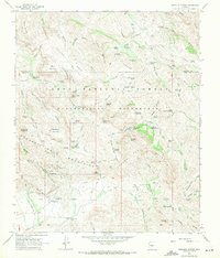
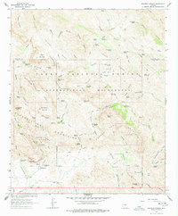
1966 Map of Weavers Needle
USGS Topo · Published 1971About this map
The Superstition Wilderness dominates this mid-1960s survey, revealing a landscape defined by its network of footpaths and legendary landmarks. The iconic monolith of Weavers Needle stands as a central orientation point for the surrounding Superstition Mountains, where narrow canyons like Needle Canyon and Boulder Canyon converge. The map documents a time of active backcountry usage, featuring named camps such as Williams Camp and Reeds Camp, alongside the established Quarter Circle U Ranch to the south.
Find a feature on this map
94 named features on this map. Tap any name to fly to it.
Don’t see what you’re looking for? This feature index may not catch every label — zoom into the map to look around manually.
Map Details
Editions of this 1966 Weavers Needle Map
5 editions found
Other maps of this area

1900 · Florence
USGS Topo · 1:125,000

1902 · Florence
USGS Topo · 1:125,000

1907 · Roosevelt
USGS Topo · 1:125,000

1909 · Four Peaks
USGS Topo · 1:125,000

1912 · Roosevelt
USGS Topo · 1:125,000

1948 · Superior
USGS Topo · 1:62,500

1948 · Iron Mountain
USGS Topo · 1:24,000

1948 · Picketpost Mtn
USGS Topo · 1:24,000

1949 · Iron Mountain
USGS Topo · 1:24,000

1949 · Picketpost Mtn
USGS Topo · 1:24,000