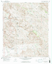
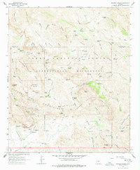
1966 Map of Weavers Needle
USGS Topo · Published 1978About this map
Weavers Needle and the jagged peaks of the Superstition Mountains dominate this 1960s landscape, a region defined by its complex network of trails and springs within the Tonto National Forest. The geography reveals a legacy of prospecting and ranching, with the Tortilla Ranch and Quarter Circle U Ranch serving as rare outposts of activity amidst the high mesas and deep canyons. Hikers and historians can trace the paths of the Dutchmans Trail and Peters Trail, which connect vital water sources like Charlebois Spring and LaBarge Spring.
Find a feature on this map
95 named features on this map. Tap any name to fly to it.
Don’t see what you’re looking for? This feature index may not catch every label — zoom into the map to look around manually.
Map Details
Editions of this 1966 Weavers Needle Map
5 editions found
Other maps of this area

1900 · Florence
USGS Topo · 1:125,000

1902 · Florence
USGS Topo · 1:125,000

1907 · Roosevelt
USGS Topo · 1:125,000

1909 · Four Peaks
USGS Topo · 1:125,000

1912 · Roosevelt
USGS Topo · 1:125,000

1948 · Superior
USGS Topo · 1:62,500

1948 · Iron Mountain
USGS Topo · 1:24,000

1948 · Picketpost Mtn
USGS Topo · 1:24,000

1949 · Iron Mountain
USGS Topo · 1:24,000

1949 · Picketpost Mtn
USGS Topo · 1:24,000