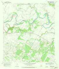
1968 Map of Webberville
USGS Topo · Published 1971About this map
The winding Colorado River carves a complex path through the Central Texas landscape, defining the rural character of southeastern Travis County in the late 1960s. The river creates dramatic oxbows at Hornsby Bend and Hunter Bend, surrounded by fertile bottomlands and small family-named settlements. This area is notably dense with burial sites, preserving significant local lineage through the Comanche Cemeteries and several smaller family grounds like Puckett Cem and Haynie Cem.
Find a feature on this map
41 named features on this map. Tap any name to fly to it.
Don’t see what you’re looking for? This feature index may not catch every label — zoom into the map to look around manually.
Map Details
Editions of this 1968 Webberville Map
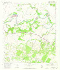
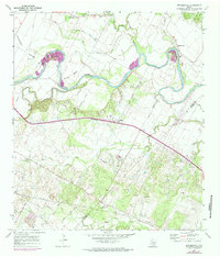
Other maps of this area

1885 · Bastrop
USGS Topo · 1:125,000

1893 · Bastrop
USGS Topo · 1:125,000

1896 · Austin
USGS Topo · 1:125,000

1897 · Austin
USGS Topo · 1:125,000

1904 · Bastrop
USGS Topo · 1:125,000

1910 · Austin
USGS Topo · 1:125,000

1948 · Elgin
USGS Topo · 1:62,500

1948 · Bastrop
USGS Topo · 1:62,500

1950 · Bastrop
USGS Topo · 1:62,500

1950 · Elgin
USGS Topo · 1:62,500