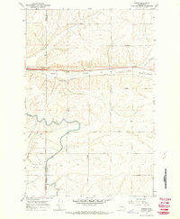
1967 Map of Weber
USGS Topo · Published 1970About this map
Weber stands at the center of this 1960s landscape, positioned where the Northern Pacific railroad cuts through the dry terrain of Weber Coulee. This era of development is defined by the massive irrigation infrastructure of the East Low Canal, which snakes across the southern half of the sheet, including a notable Aqueduct. The intersection of rail and water managed the agricultural output of the region, evidenced by the Schaeffer Spur and the surrounding network of section-line roads named after local families.
Find a feature on this map
20 named features on this map. Tap any name to fly to it.
Don’t see what you’re looking for? This feature index may not catch every label — zoom into the map to look around manually.
Map Details
Editions of this 1967 Weber Map
2 editions found
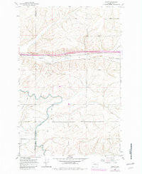
Other maps of this area

1916 · Connell
USGS Topo · 1:125,000

1918 · Connell
USGS Topo · 1:125,000

1923 · Wheeler
USGS Topo · 1:62,500

1924 · Othello
USGS Topo · 1:62,500

1925 · Wheeler
USGS Topo · 1:62,500

1925 · Schrag
USGS Topo · 1:62,500

1953 · Walla Walla
USGS Topo · 1:250,000

1953 · Ritzville
USGS Topo · 1:250,000

1954 · Warden
USGS Topo · 1:24,000

1954 · Othello
USGS Topo · 1:62,500