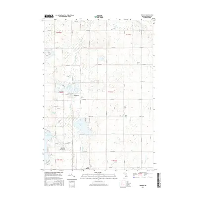
2017 Map of Weidman
USGS Topo · Published 2017About this map
Coldwater Lake and the winding course of the Chippewa River dominate this central Michigan landscape, where water has shaped both the recreation and the settlement patterns of Isabella County. The village of Weidman serves as a local hub, surrounded by smaller communities such as Beal City and Two Rivers. For those researching local family history, the map identifies several scattered burial grounds including Fairview Cem, Redman Cem, and Saint Joseph Cem. The presence of the Lake Isabella - Cal Brewer Memorial Airport and Ojibwa Airpark underscores the importance of regional aviation in this rural corridor. A dense network of section-line roads, such as W Weidman Rd and W Beal City Rd, connects these independent farmsteads and residential lakeside developments.
Find a feature on this map
81 named features on this map. Tap any name to fly to it.
Don’t see what you’re looking for? This feature index may not catch every label — zoom into the map to look around manually.
Map Details
Editions of this 2017 Weidman Map
This is the sole edition of this map. No revisions or reprints were ever made.
Other maps of this area

1916 · Mount Pleasant
USGS Topo · 1:62,500

1919 · Mount Pleasant
USGS Topo · 1:62,500

1943 · Mount Pleasant
USGS Topo · 1:62,500

1954 · Midland
USGS Topo · 1:250,000

1958 · Midland
USGS Topo · 1:250,000

1959 · Midland
USGS Topo · 1:250,000

1959 · Lake
USGS Topo · 1:62,500

1959 · Clare
USGS Topo · 1:62,500

1964 · Blanchard
USGS Topo · 1:24,000

1964 · Sherman City
USGS Topo · 1:24,000