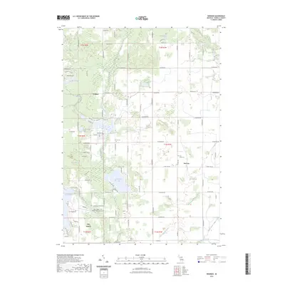
2023 Map of Weidman
USGS Topo · Published 2023About this map
Weidman and Beal City serve as the primary hubs in this section of Isabella County, where the landscape is defined by the winding course of the Coldwater River and the Chippewa River. The area exhibits a significant focus on recreational and residential water features, notably around Lake Isabella and Coldwater Lake. These larger bodies of water are complemented by smaller basins like Scott Lake and Lake Pauline, suggesting a region shaped by post-glacial topography and subsequent development for leisure.
Find a feature on this map
57 named features on this map. Tap any name to fly to it.
Don’t see what you’re looking for? This feature index may not catch every label — zoom into the map to look around manually.
Map Details
Editions of this 2023 Weidman Map
This is the sole edition of this map. No revisions or reprints were ever made.
Other maps of this area

1916 · Mount Pleasant
USGS Topo · 1:62,500

1919 · Mount Pleasant
USGS Topo · 1:62,500

1943 · Mount Pleasant
USGS Topo · 1:62,500

1954 · Midland
USGS Topo · 1:250,000

1958 · Midland
USGS Topo · 1:250,000

1959 · Midland
USGS Topo · 1:250,000

1959 · Lake
USGS Topo · 1:62,500

1959 · Clare
USGS Topo · 1:62,500

1964 · Blanchard
USGS Topo · 1:24,000

1964 · Sherman City
USGS Topo · 1:24,000
Featured Places
- Lake Isabella, MI
- Broomfield Township, MI
- Deerfield Township, MI
- Coldwater Township, MI
- Gilmore Township, MI