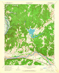
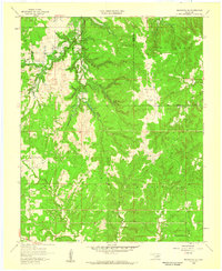
1958 Map of Wekiwa
USGS Topo · Published 1964About this map
The Arkansas River serves as the central artery for this 1950s survey, cutting through the fertile Fisher Bottom at the border of the Osage Indian Reservation Boundary. The landscape is defined by the convergence of heavy industry and rural settlement, where numerous Oil Wells and a Quarry dot the wooded hills surrounding Shell Lake. Transportation is anchored by the dual presence of the Missouri Kansas Texas and St Louis San Francisco railroads, which parallel the river and support the small communities of Wekiwa and Fisher. Genealogists and local historians will find significant detail in the placement of the Fisher Ch and educational landmarks like Anderson Sch and Tanglewood Sch. The map also captures specialized infrastructure like Simms Landing Field, reflecting the area's mid-century development within the Tulsa Metropolitan Area.
Find a feature on this map
29 named features on this map. Tap any name to fly to it.
Don’t see what you’re looking for? This feature index may not catch every label — zoom into the map to look around manually.
Map Details
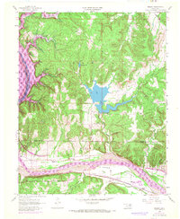
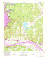
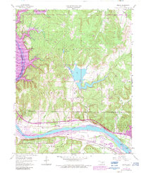
Editions of this 1958 Wekiwa Map
5 editions found
Other maps of this area

1912 · Hominy
USGS Topo · 1:125,000

1915 · Hominy
USGS Topo · 1:125,000

1915 · Hominy
USGS Topo · 1:62,500

1955 · Enid
USGS Topo · 1:250,000

1956 · Sand Springs
USGS Topo · 1:24,000

1956 · Sapulpa North
USGS Topo · 1:24,000

1958 · Enid
USGS Topo · 1:250,000

1958 · Keystone Dam
USGS Topo · 1:24,000
1958 · Mannford SE
USGS Topo · 1:24,000

1958 · Wekiwa
USGS Topo · 1:24,000