Loading...
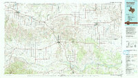
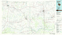
Loading map...1986 Map of Wellington
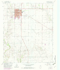
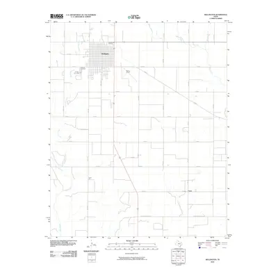
USGS Topo · Published 1992About this map
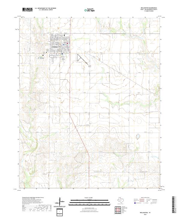
Wellington and the surrounding Texas Panhandle plains are defined by the convergence of major river forks and the long-established path of the Burlington Northern railroad. This landscape, as it appeared in the mid-1980s, shows the vital role of water management in the region, centered on the Greenbelt Reservoir and the widespread drainage systems of the Salt Fork Red River and Prairie Dog Town Fork Red River.
Find a feature on this map
55 named features on this map. Tap any name to fly to it.
Don’t see what you’re looking for? This feature index may not catch every label — zoom into the map to look around manually.
Map Details
Date Portrayed1986
Date Published1992
PublisherU.S. Geological Survey
Map TypeTopographic
Scale1:100,000
Physical Dimensions42.5 x 24.1 inches
Editions of this 1986 Wellington Map
2 editions found
Historical Maps of Memphis Through Time
7 maps found
Featured Locations
Source Details
SourceU.S. Geological Survey
CopyrightPublic Domain