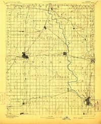
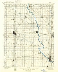
1890 Map of Wellington
USGS Topo · Published 1910About this map
The Arkansas River serves as the dominant geographic spine for this late 19th-century landscape, winding through a grid of townships that defined early Kansas settlement. Major hubs such as Wellington, Winfield, and Arkansas City anchor the region's commerce, while a dense network of competing rail lines—including the Atchison Topeka and Santa Fe Railroad and the Missouri Pacific Railroad—reveal the intense transit competition of the era.
Find a feature on this map
76 named features on this map. Tap any name to fly to it.
Don’t see what you’re looking for? This feature index may not catch every label — zoom into the map to look around manually.
Map Details
Editions of this 1890 Wellington Map
6 editions found
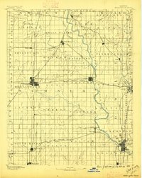
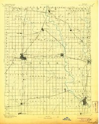
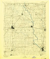
Other maps of this area

1888 · Eldorado
USGS Topo · 1:125,000

1889 · Burden
USGS Topo · 1:125,000

1889 · Cheney
USGS Topo · 1:125,000

1889 · Wichita
USGS Topo · 1:125,000

1889 · Caldwell
USGS Topo · 1:125,000

1890 · Wellington
USGS Topo · 1:125,000

1891 · Cheney
USGS Topo · 1:125,000

1893 · Caldwell
USGS Topo · 1:125,000

1894 · Wichita
USGS Topo · 1:125,000

1897 · Caldwell
USGS Topo · 1:125,000