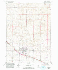
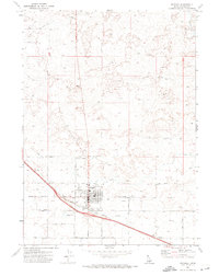
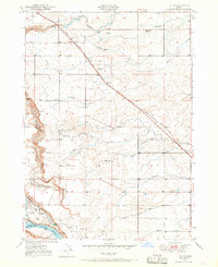
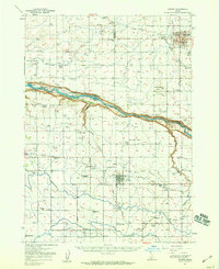
1971 Map of Wendell
USGS Topo · Published 1993About this map
Wendell serves as the central hub of this agricultural landscape in Southern Idaho, characterized by a grid of irrigation infrastructure and rural crossroads. The town is marked by its community landmarks including McGinnis Park, a local Park, and the Athletic Field, while the Grain Elevator near the southern edge reflects the region's reliance on farming. Transportation is defined by a strictly aligned road network featuring Main St, Bliss St, and Gooding St, which connect the town to outlying areas like the settlement of Tuttle and a nearby Trailer Park. Significant water management features such as the W Canal, a Siphon, and the Sewage Disposal Ponds illustrate the engineered nature of the High Desert terrain. To the north, a prominent Pipeline cuts across the landscape, which is otherwise dotted with industry-specific sites like Gravel Pits and a Borrow Pit.
Find a feature on this map
19 named features on this map. Tap any name to fly to it.
Don’t see what you’re looking for? This feature index may not catch every label — zoom into the map to look around manually.
Map Details
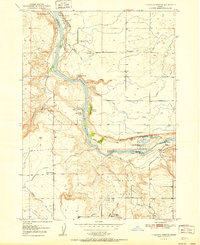
Editions of this 1971 Wendell Map
2 editions found
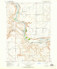
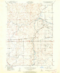
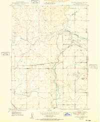
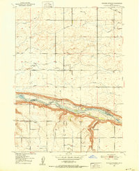
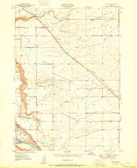
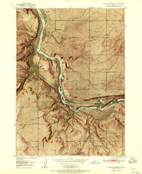
Other maps of this area
1949 · Thousand Springs
USGS Topo · 1:24,000
1949 · Gooding Butte
USGS Topo · 1:24,000
1949 · Tuttle
USGS Topo · 1:24,000
1950 · Gooding Butte
USGS Topo · 1:24,000
1950 · Niagara Springs
USGS Topo · 1:24,000
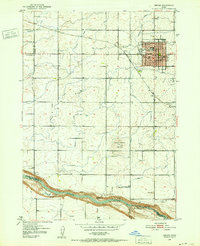
1950 · Jerome
USGS Topo · 1:24,000
1950 · Jerome
USGS Topo · 1:62,500
1951 · Thousand Springs
USGS Topo · 1:24,000
1951 · Tuttle
USGS Topo · 1:24,000
1954 · Thousand Springs
USGS Topo · 1:24,000