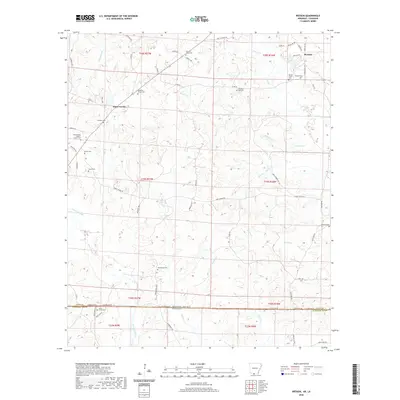
2020 Map of Wesson
USGS Topo · Published 2020About this map
The borderlands between Arkansas and Louisiana are defined here by a network of rural roads and cemetery-rich communities. The settlement of Wesson anchors the northeast corner, while Three Creeks marks a central point where local routes like Co Rd 62 and Kimper Rd converge. This area is heavily dotted with family and church burial grounds, reflecting a long history of local settlement and genealogical importance. Notable sites include the Three Creeks Baptist Church Cem, Beulah Grove Cem, and Macedonia Cem.
Find a feature on this map
85 named features on this map. Tap any name to fly to it.
Don’t see what you’re looking for? This feature index may not catch every label — zoom into the map to look around manually.
Map Details
Editions of this 2020 Wesson Map
This is the sole edition of this map. No revisions or reprints were ever made.
Other maps of this area

1927 · El Dorado
USGS Topo · 1:62,500

1930 · El Dorado
USGS Topo · 1:62,500

1951 · Summerfield
USGS Topo · 1:62,500

1951 · Bernice
USGS Topo · 1:62,500

1951 · El Dorado
USGS Topo · 1:62,500

1953 · El Dorado
USGS Topo · 1:250,000

1955 · Shreveport
USGS Topo · 1:250,000

1956 · Shreveport
USGS Topo · 1:250,000

1957 · El Dorado
USGS Topo · 1:250,000

1958 · El Dorado
USGS Topo · 1:250,000