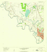
1956 Map of West Brownsville
USGS Topo · Published 1959About this map
The Rio Grande meanders in tight, complex loops along the international border between Texas and Tamaulipas in this mid-century topographical survey. The landscape is defined by the numerous "bancos"—detached river bends such as Morales Banco No 133 and Trevino Canales Banco No 5—that reflect the shifting nature of the river's course over time. Inland, the ancient distributary channels known as resacas, most notably the winding Resaca de la Palma, dominate the drainage pattern, providing water for a system of agricultural infrastructure including the Main Supply Canal and the Los Fresnos Canal. The growing urban footprint of Brownsville is visible in the southeast, where residential blocks meet institutional landmarks like Mercy Hospital and the International Bridge. Surrounding the city, smaller communities like Villa Nueva and San Pedro maintain a distinct identity, supported by local schools like the Villa Nueva Sch.
Find a feature on this map
48 named features on this map. Tap any name to fly to it.
Don’t see what you’re looking for? This feature index may not catch every label — zoom into the map to look around manually.
Map Details
Editions of this 1956 West Brownsville Map
3 editions found
Other maps of this area

1929 · La Paloma
USGS Topo · 1:24,000

1930 · Los Fresnos
USGS Topo · 1:24,000

1930 · West Brownsville
USGS Topo · 1:24,000

1930 · Barreda
USGS Topo · 1:24,000

1930 · East Brownsville
USGS Topo · 1:24,000

1936 · Los Fresnos
USGS Topo · 1:31,680
1936 · West Brownsville
USGS Topo · 1:31,680
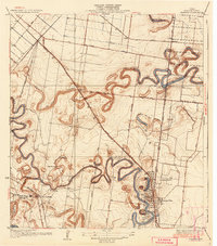
1936 · Barreda
USGS Topo · 1:31,680
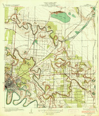
1936 · East Brownsville
USGS Topo · 1:31,680
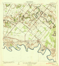
1936 · La Paloma
USGS Topo · 1:31,680