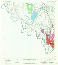
1956 Map of West Brownsville
USGS Topo · Published 1971About this map
The Rio Grande meanders along the international boundary in this detailed mid-century survey, defining the landscape through its dramatic bends and historic bancos. The winding channel creates a complex network of features like Cantu Bend, Lloyd Bend, and Rusteberg Bend, reflecting the dynamic nature of the river before modern engineering fully stabilized its course. To the north and east, the character of the terrain is shaped by ancient distributary channels known as resacas, including Resaca de la Palma and Resaca del Rancho Viejo, which provided critical drainage and water storage for the surrounding ranchlands.
Find a feature on this map
41 named features on this map. Tap any name to fly to it.
Don’t see what you’re looking for? This feature index may not catch every label — zoom into the map to look around manually.
Map Details
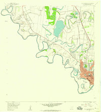
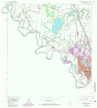
Editions of this 1956 West Brownsville Map
3 editions found
Other maps of this area

1929 · La Paloma
USGS Topo · 1:24,000

1930 · Los Fresnos
USGS Topo · 1:24,000

1930 · West Brownsville
USGS Topo · 1:24,000

1930 · Barreda
USGS Topo · 1:24,000

1930 · East Brownsville
USGS Topo · 1:24,000

1936 · Los Fresnos
USGS Topo · 1:31,680
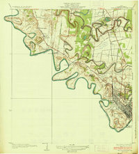
1936 · West Brownsville
USGS Topo · 1:31,680
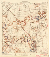
1936 · Barreda
USGS Topo · 1:31,680
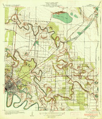
1936 · East Brownsville
USGS Topo · 1:31,680
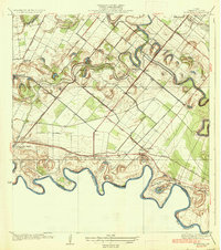
1936 · La Paloma
USGS Topo · 1:31,680