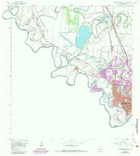
1956 Map of West Brownsville
USGS Topo · Published 1984About this map
Rio Grande meanders along the international boundary, defining a landscape of complex oxbows and historical land grants known as bancos. The intricate hydrology of this border region is visible through the winding course of Resaca De La Palma and various irrigation works like the Main Supply Canal and Los Fresnos Canal. In the urban center of Brownsville, community institutions such as Mercy Hospital, St Joseph Academy, and Villa Maria High Sch anchor the residential grid. Transportation and trade are highlighted by the Missouri Pacific railroad line and the International Bridge connecting to Mexico. Smaller settlements like San Pedro, Villa Nueva, and Barreda dot the surrounding agricultural land, while the State Fish Hatchery and Brownsville Country Club provide notable recreational and utility landmarks.
Find a feature on this map
45 named features on this map. Tap any name to fly to it.
Don’t see what you’re looking for? This feature index may not catch every label — zoom into the map to look around manually.
Map Details
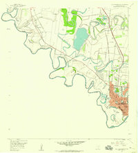
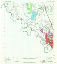
Editions of this 1956 West Brownsville Map
3 editions found
Other maps of this area

1929 · La Paloma
USGS Topo · 1:24,000

1930 · Los Fresnos
USGS Topo · 1:24,000

1930 · West Brownsville
USGS Topo · 1:24,000

1930 · Barreda
USGS Topo · 1:24,000

1930 · East Brownsville
USGS Topo · 1:24,000

1936 · Los Fresnos
USGS Topo · 1:31,680
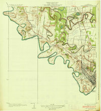
1936 · West Brownsville
USGS Topo · 1:31,680
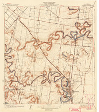
1936 · Barreda
USGS Topo · 1:31,680
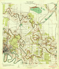
1936 · East Brownsville
USGS Topo · 1:31,680
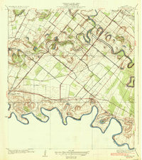
1936 · La Paloma
USGS Topo · 1:31,680