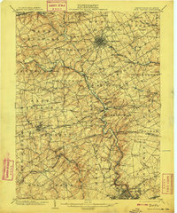
1904 Map of West Chester
USGS Topo · Published 1908About this map
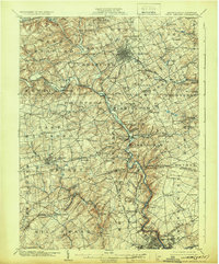
West Chester serves as the focal point of this regional study, showing a grid of developed streets at a time when the surrounding Chester County landscape remained largely agricultural. The confluence of the East Branch Brandywine Creek and its western counterpart creates a winding valley that dictated the placement of early infrastructure, including the Dutton Mill and various railroad corridors. The map records a complex transportation network, from the heavy rail of the Pennsylvania RR to the Philadelphia and West Chester Electric RR, which connected outlying settlements like Goshenville and Milltown to the county seat.
Find a feature on this map
128 named features on this map. Tap any name to fly to it.
Don’t see what you’re looking for? This feature index may not catch every label — zoom into the map to look around manually.
Map Details
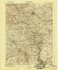
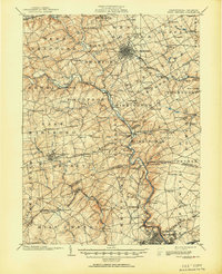
Editions of this 1904 West Chester Map
8 editions found

Other maps of this area

1890 · Salem
USGS Topo · 1:62,500

1894 · Chester
USGS Topo · 1:62,500

1894 · Norristown
USGS Topo · 1:62,500

1895 · Norristown
USGS Topo · 1:62,500

1896 · Norristown
USGS Topo · 1:62,500

1896 · Chester
USGS Topo · 1:62,500

1898 · Salem
USGS Topo · 1:62,500

1898 · Elkton
USGS Topo · 1:62,500

1898 · Chester
USGS Topo · 1:62,500

1900 · Elkton
USGS Topo · 1:62,500