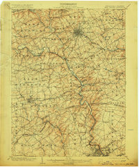
1904 Map of West Chester
USGS Topo · Published 1915About this map
West Chester serves as the focal point of this early 20th-century landscape, where a dense radial street grid contrasts with the sprawling agricultural townships of Chester and Delaware Counties. The region is defined by a sophisticated transportation network, featuring several competing rail lines like the Philadelphia and West Chester Electric RR and the Wilmington and Northern RR that follow the natural topography of the local valleys.
Find a feature on this map
134 named features on this map. Tap any name to fly to it.
Don’t see what you’re looking for? This feature index may not catch every label — zoom into the map to look around manually.
Map Details
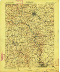
Editions of this 1904 West Chester Map
8 editions found

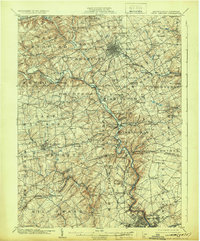
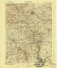
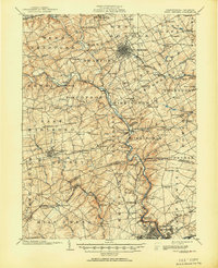
Other maps of this area

1890 · Salem
USGS Topo · 1:62,500

1894 · Chester
USGS Topo · 1:62,500

1894 · Norristown
USGS Topo · 1:62,500

1895 · Norristown
USGS Topo · 1:62,500

1896 · Norristown
USGS Topo · 1:62,500

1896 · Chester
USGS Topo · 1:62,500

1898 · Salem
USGS Topo · 1:62,500

1898 · Elkton
USGS Topo · 1:62,500

1898 · Chester
USGS Topo · 1:62,500

1900 · Elkton
USGS Topo · 1:62,500