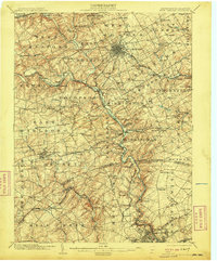
1904 Map of West Chester
USGS Topo · Published 1910About this map
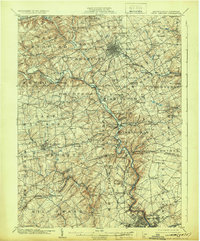
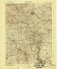
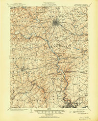
The borough of West Chester serves as the central hub of this early 20th-century landscape, characterized by a dense grid of streets and a radiating network of railroads. To the south and west, the serpentine course of Brandywine Creek and its West Branch anchor numerous small communities such as Copesville, Lenape, and Embreeville. The region is defined by its transition from the rolling hills of the West Bradford and East Goshen townships into the northern reaches of Delaware, crossing the Pennsylvania-Delaware boundary line.
Find a feature on this map
122 named features on this map. Tap any name to fly to it.
Don’t see what you’re looking for? This feature index may not catch every label — zoom into the map to look around manually.
Map Details
Editions of this 1904 West Chester Map
8 editions found

Other maps of this area

1890 · Salem
USGS Topo · 1:62,500

1894 · Chester
USGS Topo · 1:62,500

1894 · Norristown
USGS Topo · 1:62,500

1895 · Norristown
USGS Topo · 1:62,500

1896 · Norristown
USGS Topo · 1:62,500

1896 · Chester
USGS Topo · 1:62,500

1898 · Salem
USGS Topo · 1:62,500

1898 · Elkton
USGS Topo · 1:62,500

1898 · Chester
USGS Topo · 1:62,500

1900 · Elkton
USGS Topo · 1:62,500