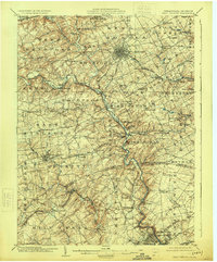
1904 Map of West Chester
USGS Topo · Published 1924About this map
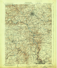
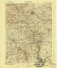
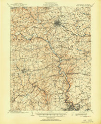
West Chester serves as the dense hub of this 1904 survey, situated at the confluence of several early transportation corridors. The map reveals a deeply etched landscape defined by the serpentine path of Brandywine Creek, which carves through the heart of Chester County and into Delaware. This region’s early industrial character is visible through features like the Henry Clay Factory and Dutton Mill, while the House of Refuge points to the area's social institutions at the dawn of the twentieth century.
Find a feature on this map
121 named features on this map. Tap any name to fly to it.
Don’t see what you’re looking for? This feature index may not catch every label — zoom into the map to look around manually.
Map Details
Editions of this 1904 West Chester Map
8 editions found

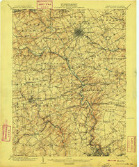
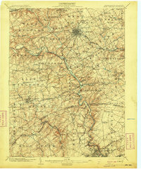
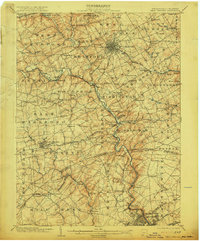
Other maps of this area

1890 · Salem
USGS Topo · 1:62,500

1894 · Chester
USGS Topo · 1:62,500

1894 · Norristown
USGS Topo · 1:62,500

1895 · Norristown
USGS Topo · 1:62,500

1896 · Norristown
USGS Topo · 1:62,500

1896 · Chester
USGS Topo · 1:62,500

1898 · Salem
USGS Topo · 1:62,500

1898 · Elkton
USGS Topo · 1:62,500

1898 · Chester
USGS Topo · 1:62,500

1900 · Elkton
USGS Topo · 1:62,500