
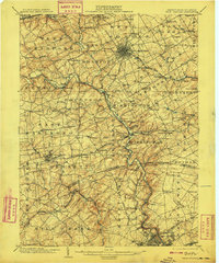
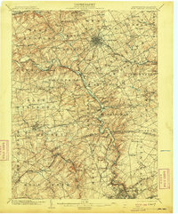
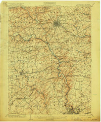
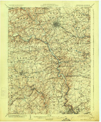
1904 Map of West Chester
USGS Topo · Published 1904About this map
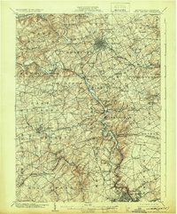
West Chester serves as the central hub for a dense network of rail lines and early 20th-century settlements in this detailed survey of Chester and Delaware counties. The landscape is defined by the winding course of Brandywine Creek and its many tributaries, including Pocopson Creek and Radley Run, which powered early industry at sites like Dutton Mill and the Henry Clay Factory. The map captures the region's transition into a major suburban and agricultural corridor, with the Pennsylvania R. R. and the Wilmington & Northern R. R. connecting small communities such as Downingtown, Marshallton, and Sugartown.
Find a feature on this map
138 named features on this map. Tap any name to fly to it.
Don’t see what you’re looking for? This feature index may not catch every label — zoom into the map to look around manually.
Map Details
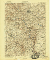
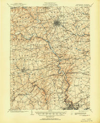
Editions of this 1904 West Chester Map
8 editions found
Other maps of this area

1890 · Salem
USGS Topo · 1:62,500

1894 · Chester
USGS Topo · 1:62,500
1894 · Norristown
USGS Topo · 1:62,500
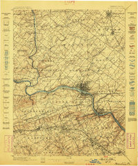
1895 · Norristown
USGS Topo · 1:62,500
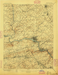
1896 · Norristown
USGS Topo · 1:62,500

1896 · Chester
USGS Topo · 1:62,500

1898 · Salem
USGS Topo · 1:62,500

1898 · Elkton
USGS Topo · 1:62,500

1898 · Chester
USGS Topo · 1:62,500

1900 · Elkton
USGS Topo · 1:62,500