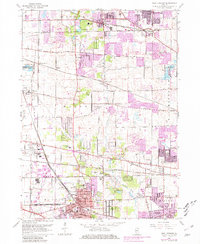
1962 Map of West Chicago
USGS Topo · Published 1981About this map
The rail and road network of the West Chicago region comes into sharp focus during this mid-century period of suburban expansion. The Chicago and North Western and Elgin Joliet and Eastern railroads intersect near the city center, which is surrounded by established settlements like Ingalton, Prince Crossing, and Winfield. Cultural and educational institutions, including Wheaton College Academy, Christ the King Seminary, and St Josephs Chapel, anchor the landscape alongside numerous cemeteries such as Glen Oak Cem and Calvary Cem.
Find a feature on this map
64 named features on this map. Tap any name to fly to it.
Don’t see what you’re looking for? This feature index may not catch every label — zoom into the map to look around manually.
Map Details
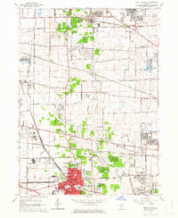
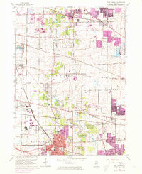
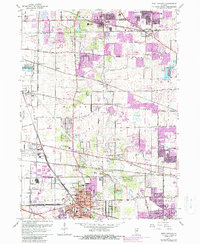
Editions of this 1962 West Chicago Map
4 editions found
Other maps of this area

1908 · Wheaton
USGS Topo · 1:62,500

1923 · Barrington
USGS Topo · 1:62,500

1925 · Elgin
USGS Topo · 1:62,500

1932 · Geneva
USGS Topo · 1:62,500

1935 · Barrington
USGS Topo · 1:62,500

1940 · Elgin
USGS Topo · 1:62,500

1948 · Wheaton
USGS Topo · 1:62,500

1948 · Geneva
USGS Topo · 1:62,500

1949 · Geneva
USGS Topo · 1:24,000

1950 · Aurora North
USGS Topo · 1:24,000