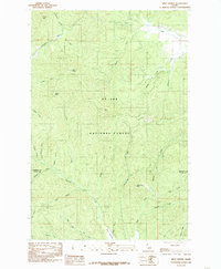
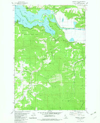
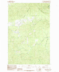
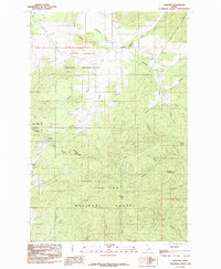
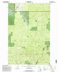
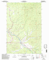
1985 Map of West Dennis
USGS Topo · Published 1985This historical map portrays the area of West Dennis in 1985, primarily covering Benewah County as well as portions of Latah County. Featuring a scale of 1:24000, this map provides a highly detailed snapshot of the terrain, roads, buildings, counties, and historical landmarks in the West Dennis region at the time. Published in 1985, it is the sole known edition of this map.
Find a feature on this map
34 named features on this map. Tap any name to fly to it.
Don’t see what you’re looking for? This feature index may not catch every label — zoom into the map to look around manually.
Map Details
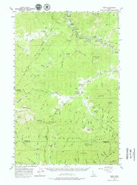
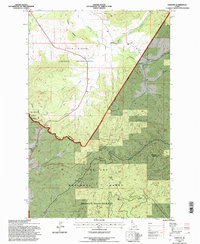
Editions of this 1985 West Dennis Map
This is the sole edition of this map. No revisions or reprints were ever made.
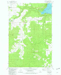
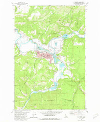
Historical Maps of Latah County Through Time
23 maps found
1957 Emida
Benewah County, ID
1957 St. Joe
Benewah County, ID
1975 Plummer SE
Benewah County, ID
1981 Benewah Lake
Benewah County, ID
1981 Chatcolet
Benewah County, ID
1981 St Maries
Benewah County, ID
1981 St Maries
Benewah County, ID
1985 Alder Creek Flats
Benewah County, ID
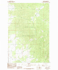
1985 Benewah
Benewah County, ID
1985 Emida
Benewah County, ID
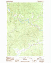
1985 Lindstrom Peak
Benewah County, ID
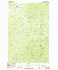
1985 Sanders
Benewah County, ID
1985 St. Joe Baldy
Benewah County, ID
1985 West Dennis
Benewah County, ID
1990 Santa
Benewah County, ID
1994 Alder Creek Flats
Benewah County, ID

1994 Benewah
Benewah County, ID
1994 Emida
Benewah County, ID
1994 Sanders
Benewah County, ID
1994 West Dennis
Benewah County, ID
1995 Lindstrom Peak
Benewah County, ID
1995 Santa
Benewah County, ID
1995 St. Joe Baldy
Benewah County, ID