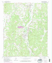
1973 Map of West Fork
USGS Topo · Published 1983About this map
West Fork and Greenland anchor this 1970s landscape, where the West Fork White River and the Burlington Northern railroad carve a north-south corridor through the Boston Mountains. The map reveals a deeply rooted rural society defined by family-named landmarks and upland agriculture. Significant genealogical data is present in the numerous small burial grounds, including the Boone Cem, Union Star Cem, and Mineral Springs Cem. The transition from river bottomlands to high ridges is punctuated by local institutions like Friendship Ch and Woolsey Ch. In the northern section, Drake Field and a nearby Substation signal the area's increasing modernization, while Quarries and a Sewage Disposal Pond illustrate the local industrial and civic footprint as the region grew during the early 1970s.
Find a feature on this map
47 named features on this map. Tap any name to fly to it.
Don’t see what you’re looking for? This feature index may not catch every label — zoom into the map to look around manually.
Map Details
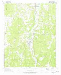
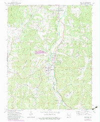
Editions of this 1973 West Fork Map
3 editions found
Other maps of this area

1898 · Winslow
USGS Topo · 1:125,000

1899 · Fayetteville
USGS Topo · 1:125,000

1901 · Winslow
USGS Topo · 1:125,000

1901 · Fayetteville
USGS Topo · 1:125,000

1904 · Fayetteville
USGS Topo · 1:125,000

1946 · Fort Smith
USGS Topo · 1:250,000

1954 · Tulsa
USGS Topo · 1:250,000

1958 · Fayetteville
USGS Topo · 1:24,000

1958 · Elkins
USGS Topo · 1:24,000

1958 · Tulsa
USGS Topo · 1:250,000