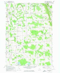
1970 Map of West Groton
USGS Topo · Published 1974About this map
North Lansing and West Groton anchor this central New York landscape, which is defined by an intricate network of local road intersections known as corners. These junctions, such as Munson Corners, Ludlow Corners, and Van Ostrand Corners, reflect a long-established settlement pattern where family-named landmarks served as critical navigational and social nodes. The eastern edge is carved by the Owasco Inlet and the Lehigh Valley railroad line, while the southern reaches contain the specialized facility for the Cornell University Radiation Biology Laboratory and the South Lansing School for Girls. Several family burial grounds, including Miller Cem and the Bird Cemetery, are scattered among the fields, providing essential data points for those researching the genealogy of Tompkins and Cayuga counties.
Find a feature on this map
71 named features on this map. Tap any name to fly to it.
Don’t see what you’re looking for? This feature index may not catch every label — zoom into the map to look around manually.
Map Details
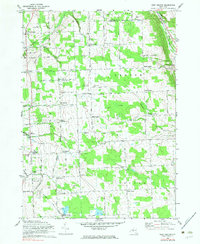
Editions of this 1970 West Groton Map
2 editions found
Other maps of this area

1893 · Ithaca
USGS Topo · 1:62,500

1895 · Ithaca
USGS Topo · 1:62,500

1898 · Moravia
USGS Topo · 1:62,500

1900 · Dryden
USGS Topo · 1:62,500

1902 · Moravia
USGS Topo · 1:62,500

1902 · Genoa
USGS Topo · 1:62,500

1905 · Watkins Glen
USGS Topo · 1:125,000

1906 · Catatonk
USGS Topo · 1:125,000

1942 · Ludlowville
USGS Topo · 1:24,000

1942 · Groton
USGS Topo · 1:24,000