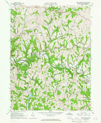
1964 Map of West Middletown
USGS Topo · Published 1966About this map
West Middletown and the surrounding townships of Washington County define this landscape in the mid-1960s, a region characterized by a dense network of valley runs and ridge-top settlements. The area shows a transition toward modern utility infrastructure, marked by numerous Gas Wells and Pipelines that cut across the topography of Hopewell and Donegal. Local heritage is anchored by sites like the Mt Hope Ch and Mt Hope Cem, alongside the Dutch Fork Ch further south.
Find a feature on this map
50 named features on this map. Tap any name to fly to it.
Don’t see what you’re looking for? This feature index may not catch every label — zoom into the map to look around manually.
Map Details
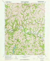
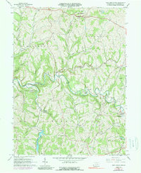
Editions of this 1964 West Middletown Map
3 editions found
Other maps of this area

1902 · Wheeling
USGS Topo · 1:62,500

1904 · Steubenville
USGS Topo · 1:62,500

1904 · Burgettstown
USGS Topo · 1:62,500

1906 · Burgettstown
USGS Topo · 1:62,500

1907 · Claysville
USGS Topo · 1:62,500

1935 · Wheeling
USGS Topo · 1:62,500

1935 · Steubenville
USGS Topo · 1:62,500

1942 · Wheeling
USGS Topo · 1:62,500

1942 · Steubenville
USGS Topo · 1:62,500

1951 · Canton
USGS Topo · 1:250,000
Featured Places
- Independence Township, PA
- West Middletown, PA
- Donley, Donegal Township
- Hopewell Township, PA
- Blaine Township, PA