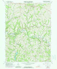
1964 Map of West Middletown
USGS Topo · Published 1989About this map
West Middletown sits at the northern edge of this Washington County landscape, which transitions from agricultural ridges to an active industrial corridor. By the mid-1960s, the terrain south of Acheson reveals a complex network of resource extraction, characterized by numerous Gas Wells and visible Strip Mine operations. This energy-driven economy is balanced by large tracts of conservation land, most notably State Game Lands No 232, which encompasses the winding waters of Buffalo Creek.
Find a feature on this map
38 named features on this map. Tap any name to fly to it.
Don’t see what you’re looking for? This feature index may not catch every label — zoom into the map to look around manually.
Map Details
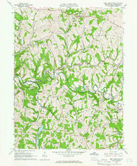
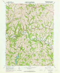
Editions of this 1964 West Middletown Map
3 editions found
Other maps of this area

1902 · Wheeling
USGS Topo · 1:62,500

1904 · Steubenville
USGS Topo · 1:62,500

1904 · Burgettstown
USGS Topo · 1:62,500

1906 · Burgettstown
USGS Topo · 1:62,500

1907 · Claysville
USGS Topo · 1:62,500

1935 · Wheeling
USGS Topo · 1:62,500

1935 · Steubenville
USGS Topo · 1:62,500

1942 · Wheeling
USGS Topo · 1:62,500

1942 · Steubenville
USGS Topo · 1:62,500

1951 · Canton
USGS Topo · 1:250,000
Featured Places
- Independence Township, PA
- West Middletown, PA
- Donley, Donegal Township
- Hopewell Township, PA
- Blaine Township, PA