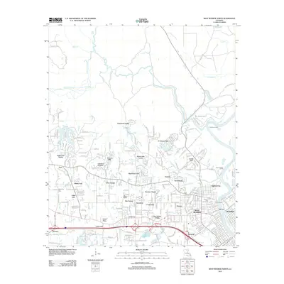
2012 Map of West Monroe North
USGS Topo · Published 2012About this map
The Ouachita River serves as the eastern boundary for this region, winding past Trenton Landing and Upper Paragoud Landing as it separates the growing suburban reaches of West Monroe from the city of Monroe. The landscape north of the city center is defined by a dense network of residential developments that emerged during the late twentieth century, including Sherwood Forest, D'Arbonne Hills, and Northwood Estates. These neighborhoods are interspersed with natural features like the wide arc of Bayou D'Arbonne and the recreational grounds of the Highland Park Golf Course.
Find a feature on this map
260 named features on this map. Tap any name to fly to it.
Don’t see what you’re looking for? This feature index may not catch every label — zoom into the map to look around manually.
Map Details
Editions of this 2012 West Monroe North Map
This is the sole edition of this map. No revisions or reprints were ever made.
Other maps of this area

1935 · Drew
USGS Topo · 1:62,500

1940 · Monroe
USGS Topo · 1:62,500

1952 · Calhoun
USGS Topo · 1:62,500

1953 · Chatham
USGS Topo · 1:62,500

1955 · Shreveport
USGS Topo · 1:250,000

1956 · Shreveport
USGS Topo · 1:250,000

1957 · Monroe North
USGS Topo · 1:62,500

1957 · West Monroe North
USGS Topo · 1:24,000

1957 · West Monroe South
USGS Topo · 1:24,000

1957 · Monroe South
USGS Topo · 1:24,000