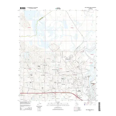
2015 Map of West Monroe North
USGS Topo · Published 2015About this map
The Ouachita River corridor defines the eastern edge of this modern survey, where the historic Pargoud Indian Mound sits near the river's edge. To the west, the Twin Cities area is represented by the developed neighborhoods of West Monroe and the northwestern portion of Monroe, showing a landscape dense with residential growth in communities like Claiborne, D'Arbonne Hills, and Lakeland Gardens.
Find a feature on this map
73 named features on this map. Tap any name to fly to it.
Don’t see what you’re looking for? This feature index may not catch every label — zoom into the map to look around manually.
Map Details
Editions of this 2015 West Monroe North Map
This is the sole edition of this map. No revisions or reprints were ever made.
Other maps of this area

1935 · Drew
USGS Topo · 1:62,500

1940 · Monroe
USGS Topo · 1:62,500

1952 · Calhoun
USGS Topo · 1:62,500

1953 · Chatham
USGS Topo · 1:62,500

1955 · Shreveport
USGS Topo · 1:250,000

1956 · Shreveport
USGS Topo · 1:250,000

1957 · Monroe North
USGS Topo · 1:62,500

1957 · West Monroe North
USGS Topo · 1:24,000

1957 · West Monroe South
USGS Topo · 1:24,000

1957 · Monroe South
USGS Topo · 1:24,000